Looking at waterfront homes on Merritt Island can feel simple at first, until you realize that not all “waterfront” means the same thing. One home may sit on open river frontage, another may back to a canal, and another may offer only limited paddling access or nearby water views. If you want to buy with confidence, it helps to understand how these options differ, what they mean for daily use, and which questions to ask before you fall in love with a property. Let’s dive in.
What waterfront means on Merritt Island
On Merritt Island, waterfront can describe several different water edges, not one single home type. The area sits between the Indian River Lagoon system and the Banana River, and local planning also includes the Barge Canal in Merritt Island’s waterfront geography.
That matters because your experience can change a lot depending on where the property sits. A home on direct open water may offer a very different lifestyle than a home on Sykes Creek, a smaller canal, or a lot with only indirect access.
Direct river frontage options
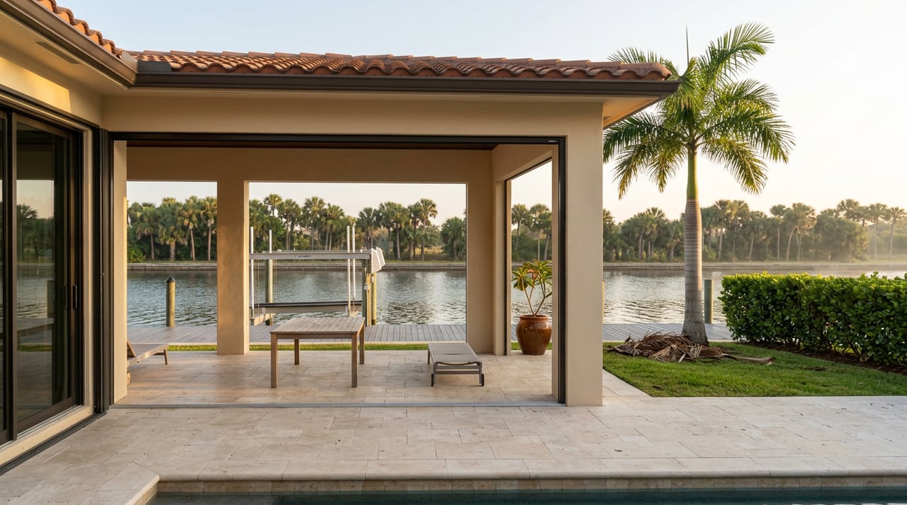
Direct frontage on the Banana River or Indian River Lagoon is the most open-water style of waterfront living on Merritt Island. These homes often appeal to buyers who want broader views, a more open setting, and easier access to the larger water system.
Local park patterns help show how these waters are used. Brevard County describes Kelly Park East on the Banana River as having a motorized boat ramp and an internationally recognized windsurfing area, while Harbor Point Park offers a Banana River overlook.
If you picture waterfront living as open views, boating, or spending time on bigger water, this is often the category you will want to explore first. Still, each property should be evaluated on its own shoreline, dock setup, and access path.
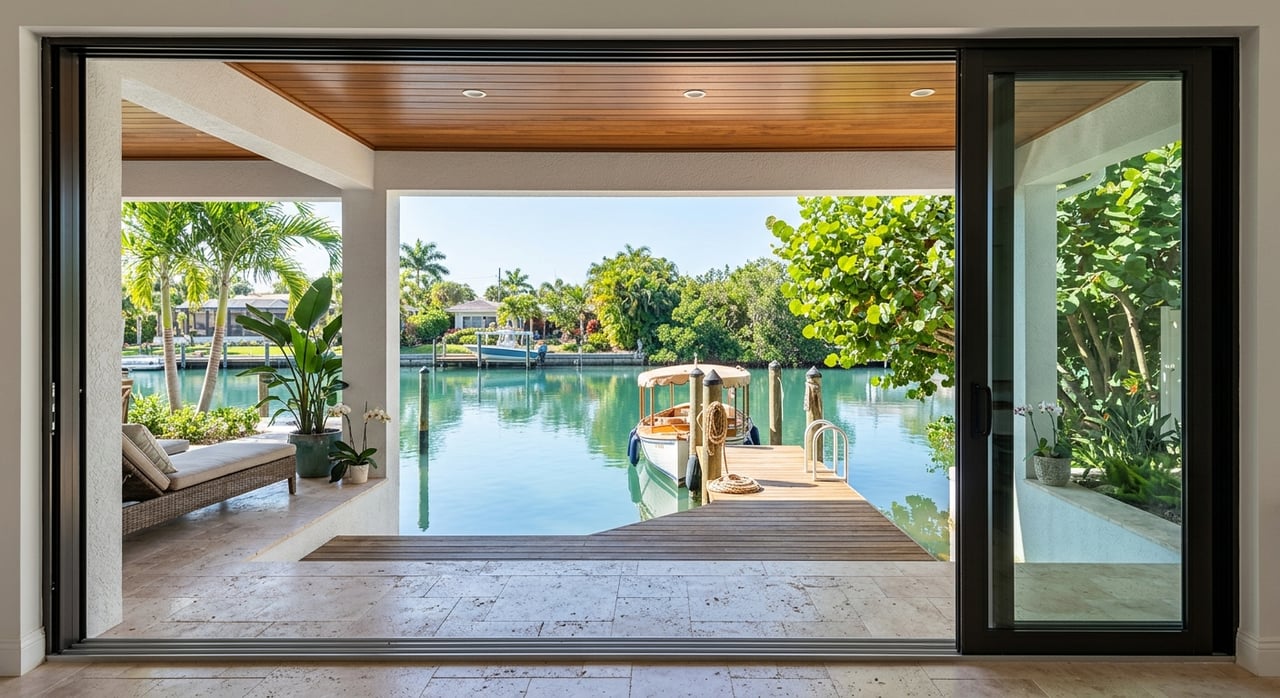
Canal-front and creek-front homes
Canal-front and creek-front homes are a separate category from open-water frontage. On Merritt Island, Sykes Creek connects into the Canaveral Barge Canal, and county materials treat the Barge Canal as a named part of the island’s geography.
These homes can be a strong fit if you want water access but do not need direct river frontage. In some cases, they may offer a more sheltered setting while still connecting to larger boating routes.
At the same time, canal living brings practical questions. Brevard County maintains a District 2 Canal Dredging Committee, which signals that canal depth and maintenance are recurring local issues buyers should take seriously.
Limited or indirect water access homes
Some homes are best described as waterfront-adjacent rather than fully boat-ready waterfront. They may offer water views, a smaller water edge, or access better suited for paddling than motorized boating.
County park examples show why these differences matter. Kings Park has a canoe launch with non-motorized access only, while Kiwanis Island Park’s boat ramp leads into Sykes Creek and then toward the Barge Canal or Banana River.
For you as a buyer, that means “water access” needs a closer look. A dockable lot, a paddling lot, and a property with nearby water views can all feel very different in daily life.
Match the home to your lifestyle
Before you focus on finishes or square footage, think about how you actually want to use the water. Merritt Island waterfront living often centers on boating, fishing, paddling, and wind or water sports, but not every property supports each use equally well.
Kelly Park East is known for windsurfing and motorized boating access. Kiwanis Island Park supports motorized boats, rowers, and paddlers, while Kings Park is set up for freshwater fishing and canoe access.
If you want quick boating access, direct river frontage or a canal with a clear route may matter most. If you care more about peaceful views or launching a kayak, a smaller creek or limited-access setting may be a better fit and potentially a simpler one to maintain.
Boating access is not always equal
Two homes can both be called waterfront and still offer very different boating experiences. One key factor is whether the water path is motor-boat friendly or better suited for paddling and non-motorized use.
Another factor is how far you need to travel to reach open water. A property may technically connect to larger waterways, but the route can include narrower stretches, slower travel, or more regulated segments.
This is one of the most important showing-day topics to ask about. It is much better to clarify real-world access upfront than to assume every dock leads to the same kind of boating lifestyle.
Slow-speed zones can affect daily use
On Merritt Island, navigation rules are part of waterfront living. Brevard County’s manatee protections create permanent slow-speed zones in parts of Sykes Creek and the Kiwanis Island Basin, and similar restrictions apply in portions of the Banana River and Newfound Harbor corridor.
That does not make a property better or worse on its own, but it does shape how you use your boat and how quickly you can reach open water. If you plan to spend frequent time on the water, these regulated stretches should be part of your home search conversation.
For some buyers, that tradeoff is no big deal. For others, especially buyers focused on direct boating convenience, it can be a deciding factor.
Flood planning is part of ownership
Waterfront ownership on Merritt Island also means planning for flood risk. Brevard County’s Floodplain Administration office maintains elevation certificate records, serves as the official local repository for FEMA flood maps, and notes that flooding can result from heavy rainfall and tidal surges tied to coastal storms, tropical storms, and hurricanes.
The county also states that flood losses are not covered by most standard homeowners policies. It further notes that flood insurance policies usually have a 30-day waiting period.
In practical terms, you do not want to treat this as a last-minute item. Early review of flood zone information and elevation records can help you understand both risk and ownership costs before you move too far into a purchase.
Why flood zone details matter
Not all flood zones carry the same level of concern. FEMA distinguishes Special Flood Hazard Areas from other zones, and coastal V, VE, and V1-30 zones have added hazards from storm waves.
Brevard County also notes that development in the floodplain requires a building permit. For existing homes, substantial improvements equal to or exceeding 50% of market value can trigger standards similar to new construction requirements.
If you are considering updates to an older waterfront home, this can become especially important. A beautiful fixer-upper on the water may come with rules and costs that are not obvious from the listing photos.
Docks, lifts, and shoreline work
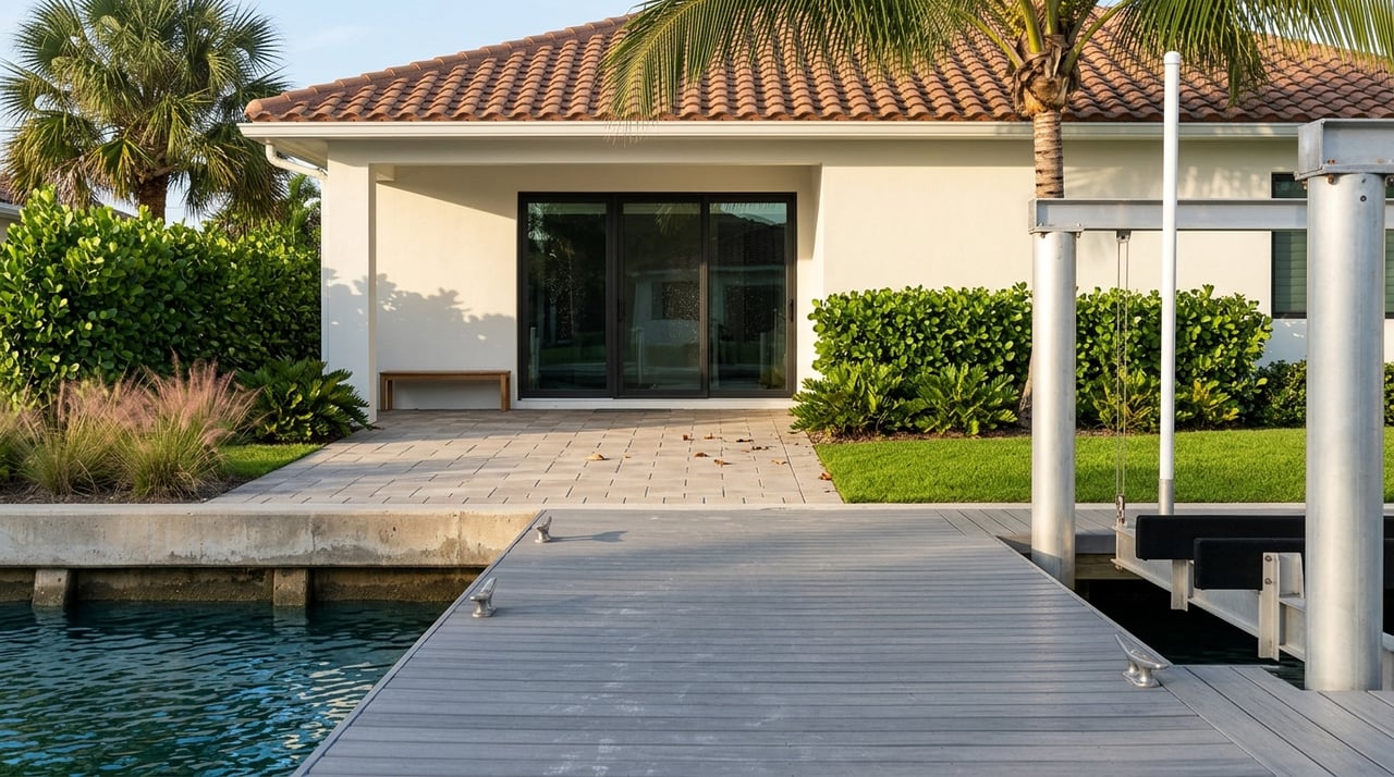
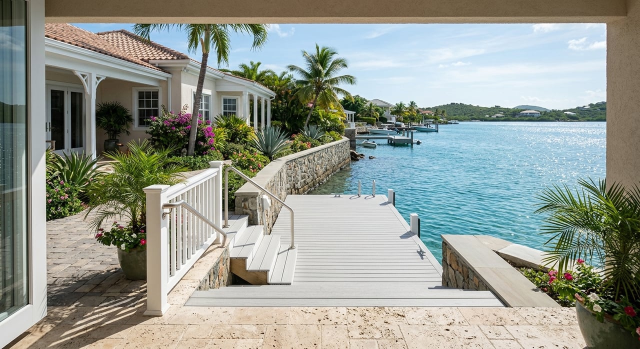
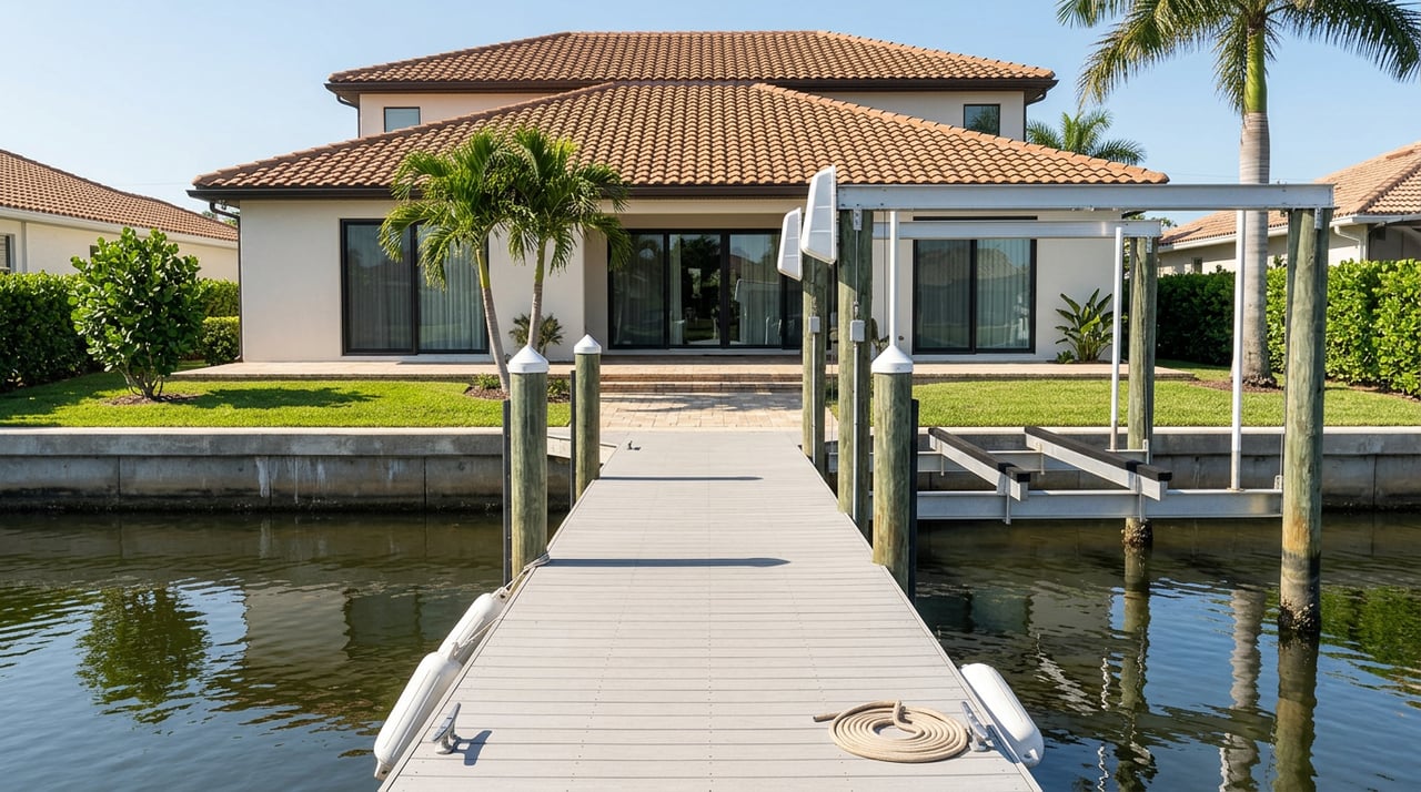
A waterfront home’s value often depends in part on what is already built at the shoreline and what you may want to change later. In Florida, some single-family dock projects may qualify for DEP ERP e-permitting self-certification, including certain new docks, dock repairs or replacements, and boat lift additions.
Other work may require an environmental resource permit or submerged-lands authorization. That means you should ask not just whether a property has a dock, but whether the dock has permit history and what future changes may require approval.
This is especially important if you are buying with plans to upgrade the property after closing. A dock that looks usable today may still have limitations tied to permits, location, or shoreline conditions.
Mangroves and shoreline conditions
Mangroves are another major due-diligence item for Merritt Island waterfront homes. Florida DEP regulates mangrove trimming, and homeowners may only trim within narrow limits or may need a professional mangrove trimmer or permit depending on the height and location.
That means shoreline vegetation is not just a cosmetic detail. It can affect your views, dock plans, and ongoing maintenance responsibilities.
Shoreline stabilization also deserves attention. UF/IFAS notes that living shorelines are often suited to lower-energy sites and can cost less than fully armored seawalls or bulkheads, while higher-energy sites with more boat traffic or wind-driven waves may need a different solution.
Drainage and site upkeep matter
Stormwater is part of the waterfront ownership picture too. Brevard County says thousands of stormwater outfalls drain to the Indian River Lagoon, and county regulations require stormwater treatment to reduce pollutants and downstream flooding.
The county also warns that yard waste, grass clippings, and other debris can clog drainage systems and reduce stormwater capacity. For you as an owner, that means regular site maintenance is not just about appearance. It also supports drainage performance and helps protect the property.
This is one reason local guidance matters when evaluating waterfront homes. The best-fit property is not only about the view. It is also about understanding the real maintenance rhythm that comes with the lot.
Smart questions to ask before you buy
When you tour Merritt Island waterfront homes, a few focused questions can save you time and help you compare options more clearly.
Ask questions like:
- Is the frontage on the Indian River Lagoon, Banana River, Sykes Creek, the Barge Canal, or a smaller canal?
- Is the water path suitable for motorized boating, or is it better for paddling and non-motorized use?
- Are there slow-speed or restricted water segments between the property and open water?
- Is there an elevation certificate, and what flood zone is the property in?
- Does the dock have permit history, and would future changes need DEP or county approval?
- Are mangroves present, and do they affect the shoreline or dock footprint?
These questions help you move past the broad “waterfront” label and focus on how the property will actually function for you.
Choosing the right Merritt Island waterfront home
The best Merritt Island waterfront home is not always the one with the biggest view or the longest dock. It is the one that matches your goals, whether that means open-water boating, a more protected canal setting, paddle-friendly access, or a scenic backdrop with fewer marine demands.
When you understand the differences between river frontage, canal homes, creek access, and limited-access properties, you can shop with a clearer eye. You can also avoid surprises tied to flood planning, permits, navigation rules, and shoreline upkeep.
If you want a local guide to help you compare Merritt Island waterfront options with both lifestyle and due diligence in mind, reach out to Diana Roca LLC. She brings responsive, high-touch support and local Space Coast insight to help you make a confident move.
FAQs
What types of waterfront homes are available on Merritt Island?
- Merritt Island waterfront options can include direct frontage on the Banana River or Indian River Lagoon, canal-front homes, creek-front homes, and properties with limited or indirect water access.
What is the difference between direct waterfront and canal-front on Merritt Island?
- Direct waterfront usually means more open-water frontage on the Banana River or Indian River Lagoon, while canal-front homes connect through smaller waterways that may have different depth, maintenance, and boating access conditions.
Are all Merritt Island waterfront homes good for motorized boating?
- No. Some properties offer motor-boat-friendly access, while others are better suited for paddling or non-motorized use, so you should verify the actual access route for each property.
Do slow-speed zones affect waterfront homes on Merritt Island?
- Yes. Parts of Sykes Creek, the Kiwanis Island Basin, and portions of the Banana River and Newfound Harbor corridor have manatee-related speed restrictions that can affect travel time to open water.
What flood questions should buyers ask about Merritt Island waterfront homes?
- You should ask for the property’s flood zone, whether an elevation certificate is available, and how flood-related conditions may affect insurance, improvements, or future building plans.
Do docks and shoreline improvements on Merritt Island need permits?
- They can. Some single-family dock projects may qualify for streamlined DEP e-permitting, but other dock, lift, shoreline, or mangrove-related work may require additional approval.
Why do mangroves matter for Merritt Island waterfront properties?
- Mangroves can affect views, dock plans, and shoreline maintenance, and trimming is regulated by Florida DEP based on the site and vegetation conditions.